- My Forums
- Tiger Rant
- LSU Recruiting
- SEC Rant
- Saints Talk
- Pelicans Talk
- More Sports Board
- Winter Olympics
- Fantasy Sports
- Golf Board
- Soccer Board
- O-T Lounge
- Tech Board
- Home/Garden Board
- Outdoor Board
- Health/Fitness Board
- Movie/TV Board
- Book Board
- Music Board
- Political Talk
- Money Talk
- Fark Board
- Gaming Board
- Travel Board
- Food/Drink Board
- Ticket Exchange
- TD Help Board
Customize My Forums- View All Forums
- Show Left Links
- Topic Sort Options
- Trending Topics
- Recent Topics
- Active Topics
Started By
Message
Posted on 9/1/16 at 11:57 am to Itismemc
Can I ask a dumb question about the NHC Advisories/Discussions?
NHC is in Coral Gables/Miami, so why are all of their discussion/advisory posts on this storm time coded in central time? For example, public advisory #16 is time coded as 10AM CDT, and then ends by giving the next intermediate and complete advisory times as CDT as well? Are all of their reports given in the time zone of the location of the eye? Will the advisories change to EDT once the eye gets far enough east?
NHC is in Coral Gables/Miami, so why are all of their discussion/advisory posts on this storm time coded in central time? For example, public advisory #16 is time coded as 10AM CDT, and then ends by giving the next intermediate and complete advisory times as CDT as well? Are all of their reports given in the time zone of the location of the eye? Will the advisories change to EDT once the eye gets far enough east?
Posted on 9/1/16 at 11:58 am to PJinAtl
I'm thinking since the storm is in the central time zone RIGHT NOW
Posted on 9/1/16 at 12:00 pm to PJinAtl
This is the first storm I can recall where they use CDT once it was in that time zone.
In the past all I remember are EDT times on updates.
In the past all I remember are EDT times on updates.
Posted on 9/1/16 at 12:18 pm to slackster
NWS Tallahassee's radar has gone down. Horrible timing.
Posted on 9/1/16 at 12:21 pm to Roll Tide Ravens
Noon CDT advisory has pressure down to 989 mb, Max sustained winds at 70 mph.
Almost a hurricane.


Almost a hurricane.


This post was edited on 9/1/16 at 12:29 pm
Posted on 9/1/16 at 12:29 pm to Roll Tide Ravens
Looks like an eye is starting to form.
Posted on 9/1/16 at 12:31 pm to Hulkklogan
quote:
Looks like an eye is starting to form.
Yeah, it is certainly trying. It is taking in some dry air, though, which is probably keeping this thing from strengthening even more quickly.
Posted on 9/1/16 at 12:32 pm to Roll Tide Ravens
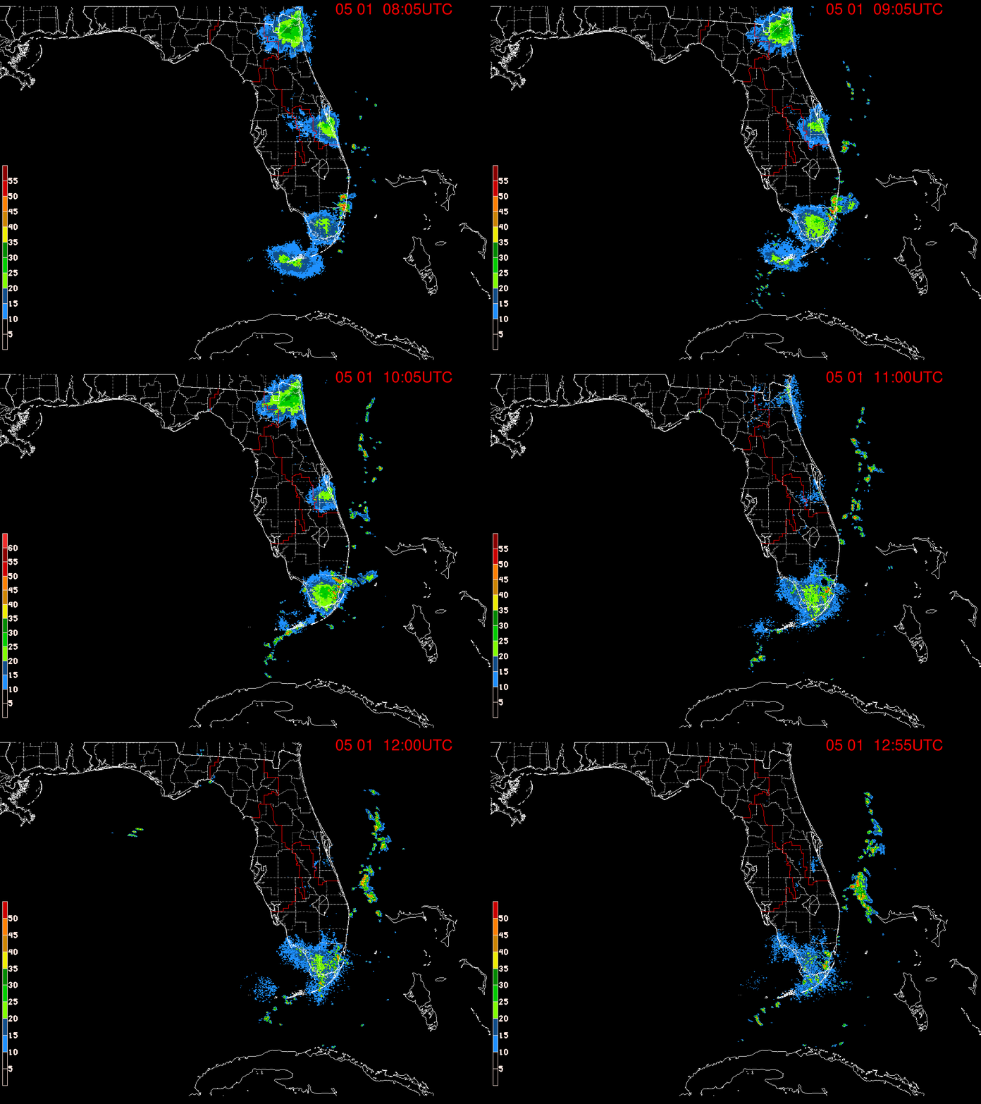
One more radar image


This post was edited on 9/1/16 at 12:32 pm
Posted on 9/1/16 at 12:34 pm to Roll Tide Ravens
Hopefully not too much damage but damn gotta a strengthening system and looks like it will make landfall at night which sucks.
Posted on 9/1/16 at 12:35 pm to Roll Tide Ravens
It's also important to note the rather substantial tornado threat over parts of Florida and south Georgia with the outer bands of Hermine.
Posted on 9/1/16 at 12:39 pm to Hulkklogan
For everyone's sake it is going to simply run out of time to ramp up significantly, but it is still fairly impressive in size, even if only confined to the east side. Tropical storm force winds extend 185 miles form the center to the northeast and southeast. For reference, at its largest, Katrina had TS force winds 230 miles from the center.
Posted on 9/1/16 at 12:44 pm to slackster
I'm here in PCB, just took off the rest of the day. No rain/wind yet, calm and quiet just overcast.
Posted on 9/1/16 at 12:50 pm to slackster
It's so big, it takes a while to wrap up and organize. The surge might be surprising for some given the size too. This seems to be the norm lately, huge systems bringing a shite ton of water with them.
Posted on 9/1/16 at 12:58 pm to slackster
so which model or models were predicting this path the earliest?
Posted on 9/1/16 at 1:04 pm to Chicken
quote:
so which model or models were predicting this path the earliest?
Not sure exactly. 12z GFS from 8/26 had it in nearly this exact spot at this exact time though...

Pretty damn good for 6 days out.
Posted on 9/1/16 at 1:05 pm to Sampson
Not a drop at Alys Beach yet. Nice day other than being overcast.
Posted on 9/1/16 at 1:05 pm to Chicken
We never seem to get that question answered. Always on to the next sphagetti dinner
Popular
Back to top


 1
1


