- My Forums
- Tiger Rant
- LSU Recruiting
- SEC Rant
- Saints Talk
- Pelicans Talk
- More Sports Board
- Winter Olympics
- Fantasy Sports
- Golf Board
- Soccer Board
- O-T Lounge
- Tech Board
- Home/Garden Board
- Outdoor Board
- Health/Fitness Board
- Movie/TV Board
- Book Board
- Music Board
- Political Talk
- Money Talk
- Fark Board
- Gaming Board
- Travel Board
- Food/Drink Board
- Ticket Exchange
- TD Help Board
Customize My Forums- View All Forums
- Show Left Links
- Topic Sort Options
- Trending Topics
- Recent Topics
- Active Topics
Started By
Message
re: Tornado Chasers are In N Alabama
Posted on 3/19/18 at 4:38 pm to slackster
Posted on 3/19/18 at 4:38 pm to slackster
quote:
What started off as a pretty distinct line in MS is becoming a bit more discrete headed to AL. That's not good news.
Nope. Not great to see.
Lookout sotuh of Baldwyn riding south of the current tornado warning. That cell is starting to get some decent rotation. I'd expect it to get warned soon.
 1
1

Posted on 3/19/18 at 4:48 pm to Duke
quote:
That cell is starting to get some decent rotation. I'd expect it to get warned soon.

Posted on 3/19/18 at 4:59 pm to weadjust
The rotation north of Belmont, MS has tightened up over the last 10 minutes or so. I didn’t think much of it when I first looked a little bit ago but it looks more impressive all of the sudden.
This post was edited on 3/19/18 at 5:07 pm
Posted on 3/19/18 at 5:03 pm to Scoop
Tennis ball size hail reported in Belmont, MS
Posted on 3/19/18 at 5:03 pm to Scoop
A lot of shear in play, and good instability. They're going to go up quick.
Posted on 3/19/18 at 5:04 pm to ptra
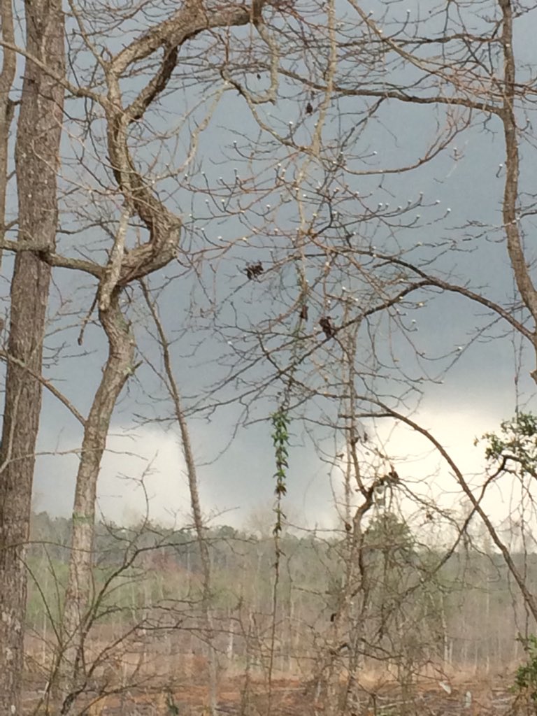
Wow, I just drove through there this morning. Could have been me. Really makes you think.
This post was edited on 1/11/21 at 9:39 pm
Posted on 3/19/18 at 5:07 pm to weadjust
I guess I wasn’t paying attention. Thought Belmont was in Alabama.
Posted on 3/19/18 at 5:10 pm to Duke
The rotation attached to the warning is getting tighter by the minute.
It might end up being something.
It might end up being something.
Posted on 3/19/18 at 5:16 pm to rds dc
Distinct supercell structures but luckily they have stayed clustered. Cell SW of Tupelo might be an issue depending on how long it can stay discrete.

Posted on 3/19/18 at 5:21 pm to rds dc
quote:
5:19pm: Radar likely picking up debris with the tornado-warned storm in central Colbert County. Colbert Heights, Shoals, take shelter now! #HUNwx
Huntsville NWS Twitter
Posted on 3/19/18 at 5:23 pm to slackster
Looks like two tornados riding side by side now.
Southern one is the most developed.
Southern one is the most developed.
Posted on 3/19/18 at 5:25 pm to Scoop
What are the chances this event affects Bham Metro?
Posted on 3/19/18 at 5:29 pm to FairhopeTider
The active warnings will pass well north of Birmingham.
Posted on 3/19/18 at 5:30 pm to FairhopeTider
They are headed generally towards Huntsville.
Posted on 3/19/18 at 5:33 pm to Scoop
Russellville is about to get popped dead center.
Posted on 3/19/18 at 5:36 pm to Scoop
quote:
Russellville is about to get popped dead center.
Gotta be rain wrapped too.

Posted on 3/19/18 at 5:36 pm to FairhopeTider

This post was edited on 3/19/18 at 5:38 pm
Posted on 3/19/18 at 5:38 pm to Scoop
quote:
The active warnings will pass well north of Birmingham.
But there’s more tonight, right?
The city effectively shut down this afternoon.
Posted on 3/19/18 at 5:40 pm to Scoop
quote:
The active warnings will pass well north of Birmingham.
Current sat images show an west to east area of agitated CU (pre thunderstorm clouds) out in front of the dryline. This is south of the current cells and anything that grows out of that could be threat to Birmingham.
Posted on 3/19/18 at 5:42 pm to GEAUXmedic
CONFIRMED
@spotternetwork
1m
Spotr 3 miles ESE of RUSSELLVILLE, AL @ 22:39 UTC TOR>-Rain wrapped still on ground. Debris falling from my location
@spotternetwork
1m
Spotr 3 miles ESE of RUSSELLVILLE, AL @ 22:39 UTC TOR>-Rain wrapped still on ground. Debris falling from my location

 Page 6 of 21

Popular
Back to top