- My Forums
- Tiger Rant
- LSU Recruiting
- SEC Rant
- Saints Talk
- Pelicans Talk
- More Sports Board
- Winter Olympics
- Fantasy Sports
- Golf Board
- Soccer Board
- O-T Lounge
- Tech Board
- Home/Garden Board
- Outdoor Board
- Health/Fitness Board
- Movie/TV Board
- Book Board
- Music Board
- Political Talk
- Money Talk
- Fark Board
- Gaming Board
- Travel Board
- Food/Drink Board
- Ticket Exchange
- TD Help Board
Customize My Forums- View All Forums
- Show Left Links
- Topic Sort Options
- Trending Topics
- Recent Topics
- Active Topics
Started By
Message
re: Tropical Storm Cindy
Posted on 6/19/17 at 1:08 pm to StinkBait72

Posted on 6/19/17 at 1:08 pm to StinkBait72
Good assessment. Most of the neighborhoods off 74/73 are going for $140 sq ft.
 0
0


Posted on 6/19/17 at 1:09 pm to poops_at_parties
So what's the Amite river supposed to do?
Spring flood, lost our bulkhead. Fixed it. Lost it and our entire back yard in the August flood. Now just chilling with my house hanging over the edge of the river.
Am I gonna wake up in the river this week?
Spring flood, lost our bulkhead. Fixed it. Lost it and our entire back yard in the August flood. Now just chilling with my house hanging over the edge of the river.
Am I gonna wake up in the river this week?
Posted on 6/19/17 at 1:14 pm to Paul Allen
quote:
Are these private carriers admitted?
Admitted or not, it's the company's choice to participate in the Write Your Own program. Some have just decided to tell FEMA/NFIP to go screw themselves and be on the hook for the flood claims from the onset. One company in particular will never admit that's why they got out of it but I can guarantee it's why. I know it from the former CEO's mouth.
Posted on 6/19/17 at 1:17 pm to Paul Allen
quote:
Development is causing impervious surfaces which creates flooding. Water has to go somewhere.
There are two flood event types:
1) Flash flood. This is where the rain comes down so fast it cannot drain out of the area before it backs up into houses. this usually happens while it is raining or immediately after it rains. This can be effected by building up for subdivisions, or drainage canals/ditches being blocked up, ect.
2) river back water. This is where large amounts of rain over a protracted rain event swell rivers and tributaries, and the rivers and tributaries cannot drain the amount of water fast enough that it back up and causing flooding. This is not effected much by development, as the water takes the elevation of its container flooding everything at an equal "flood elevation" this is what we saw last August

Posted on 6/19/17 at 1:21 pm to tigeraddict
Euro moved east.

Posted on 6/19/17 at 1:29 pm to GEAUXmedic
That would bring the majority of the rainfall over us.
Posted on 6/19/17 at 1:35 pm to poops_at_parties
Former NHC Director, current Weather Channel hurricane specialist
quote:
Dr. Rick Knabb @DrRickKnabb
9m
Tropical storm watch or warning could be issued for portions of U.S. Gulf Coast later today, if so via advisories on TC or potential TC.
This post was edited on 6/19/17 at 1:36 pm
Posted on 6/19/17 at 1:35 pm to GEAUXmedic
Looks like recon is heading towards 93L.

Posted on 6/19/17 at 1:36 pm to GEAUXmedic
So when should the barometric pressure start dropping so I know when to go fish?
Posted on 6/19/17 at 1:37 pm to GEAUXmedic
quote:
Euro moved east.
This actually could be a pretty big win for the GFS. The Euro was way south and for days had very little US impacts from this system. It mostly showed rain in deep S. Texas outside of a few random runs had that rain up into C. Texas. It constantly was focusing on the southern portion of the system and keeping it mostly buried deep in the BOC.
Posted on 6/19/17 at 1:41 pm to rds dc

Posted on 6/19/17 at 1:43 pm to rds dc
quote:
This actually could be a pretty big win for the GFS

This post was edited on 6/19/17 at 1:45 pm
Posted on 6/19/17 at 1:44 pm to rds dc
Glad it can get a win. Gonna be a big fat L for those of us in swla.
Posted on 6/19/17 at 1:46 pm to TigerStripes06
@JoshEachus
1m
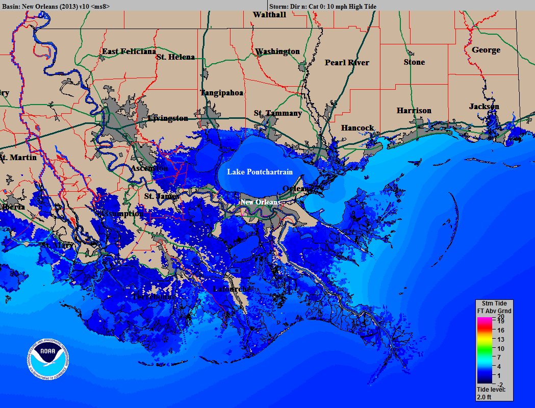
East facing shorelines may experience some surge with tides running 2-4 feet above normal. #Invest93L #LaWX #MsWX
1m
East facing shorelines may experience some surge with tides running 2-4 feet above normal. #Invest93L #LaWX #MsWX
Posted on 6/19/17 at 1:47 pm to rds dc
12z Euro is 5 - 9" for areas from Baton Rouge over to Pensacola. GFS is shifted to the E of that with totals generally higher.
Posted on 6/19/17 at 1:52 pm to rds dc
Outermost feeder band of large, currently disorganized 93L has reached Plaquemines Parish.
Posted on 6/19/17 at 1:58 pm to rds dc
ohh for fricks sake I know my generator is not going to start 
Posted on 6/19/17 at 2:00 pm to rds dc
Any chance it could keep shifting east and miss us, or too late for that?
Posted on 6/19/17 at 2:04 pm to NorthEndZone
quote:
Outermost feeder band of large, currently disorganized 93L has reached Plaquemines Parish.
blue skies and sunshine here in Belle Chasse

Posted on 6/19/17 at 2:06 pm to Zach Lee To Amp Hill
So hypothetically speaking, if someone you know was leaving Houston to drive to New orleans wednesday around 2pm, how much of a shite show do we feel the weather would be?

 Page 23 of 105

Popular
Back to top